Objectives and Results

Objectives
- Sustainably protect Saxon raw materials data against loss, corruption and oblivion
- Make digital data available to industry, science and administration
- Provide data for reinterpretation
- Pass on the savings potential through the use of data in exploration and investigation
- Strengthen the geomining location of Saxony
- Expand the data processing systems and databases of the LfULG in its function as state geological service.
Work packages
To efficiently achieve the objectives, the ROHSA 3 project has been split into four work packages:
Work package 1: DP activities and adjustments
- The data processing systems of the LfULG have adjusted
- New databases previously have been developed
- The focus had been set on user-friendly applications:
Applicable to all data:
- When gathered and prior to issue, all data and each archive information, respectively, had to be checked in terms of data privacy. This is why such information was released successively.
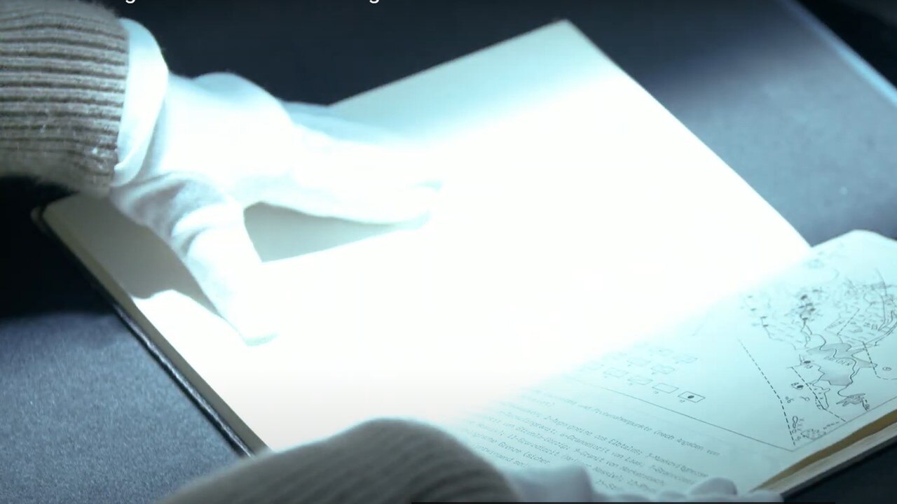
Work package 2: Archive searching
Documents kept at different archives and collections are sifted and secured. The focus was set on
- metadata capture
- digitization
- access where permitted by law
Work package 3: Collecting raw materials data in databases
All relevant point data (e.g. borehole or sampling locations) from relevant documents or digital files have been collected and transferred to the central exploration database of the LfULG. Scans of area data, such as maps orplans, have been georeferenced to be able to show and evaluate them by means of geoinformation systems.
Work package 4: Scientific results
This package was dedicated to publications making the findings accessible to the public.
A case in point is a 3-D model of the geological sub-surface and a raw material forecast created in cooperation with partners from science and industry.
Results
The merging, digitization and publication of raw material-related information covering several centuries are for the benefit of science and industry.
Since 2013 previously unpublished documents from the following archives have been screened and gathered:
- Geological archive of the LfULG (mainly reports, maps, files, boreholes)
- Archive of State Mining Authority (plans, maps)
- Geological archive of Wismut GmbH (boreholes)
- Archive of the Federal Institute for Geoscience and Natural Resources (Bundesanstalt für Geowissenschaften und Rohstoffe (BGR)
- Archives of institutes of the TU Bergakademie Freiberg (unpublished qualification work, documentation of specimens and rock cross sections)
- Saxon mining archive (search, appraisal, documentation of ROHSA3related data stock)
- state archives of neighbouring federal states, university archives (e.g. Leipzig, Halle, Jena, Greifswald) and other important archives (e.g. LMBV).
Scope of collection:
- About 45,000 individual documents covering about 2.7 million archive pages have been scanned.
- About 700 ore drills by Wismut GmbH have been digitized and about 538,000 geophysical and about 250,000 geochemical data points secured.
- More than 10,300 reference data points (metadata) of documents, reports, qualification work etc. have been collected from the a.m. archives. The data of the SMUL library network can be searched online since August 2016.
Examples of application
- Geological 3D model: A 3D model has been prepared for a section of the area. It illustrates the usability of the data.
- Prognosis of prospects: The prognosis software advangeo® was used to create a raw material prognosis. The prospect of certain raw materials can thus be estimated. A prospect is an area where it is likely that deposits of certain raw materials can be expected.